Distribution of spatial data
Spatial data, used within GIS (geographic information system) applications are becoming an important part of everyday life. Just a few years ago they were used only within high-level institutional systems (cadastre, agriculture subsidies, infrastructure). However, now you can find them in practically every mobile phone. In order to make the data, collected by the SPACE-SI center, available to end-users, we have developed three types of services:
- Web services for integration with other applications – WMS (web-mapping service), in line with OGC standards
- Export and download of data (SHP and GeoTIFF format)
- Web-based GIS application for both viewing and editing of spatial data

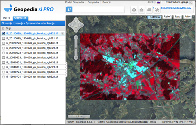
Preview of satellite imagery within Geopedia.si
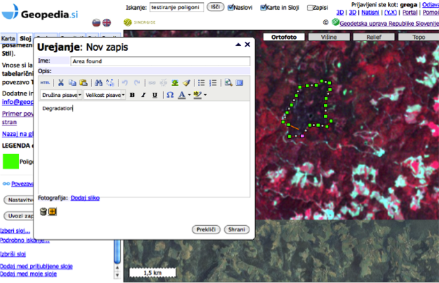
For easiest and widest use of data the system was made on Geopedia.si technology, which supports viewing of vector and raster data, editing of vector data-sets and several spatial analysis. Additionally to basic access to produced datasets users can choose between more than 1000 spatial layers and combine them in GIS application on-the-fly. They can further more decide whether to share the data with a limited group of users or publish it to the public.
Several topics were presented using this technology:
- Observation of floods in central Slovenia, September 2010
- Collection of spatial data related to natural disaster.
- Local weather based on our own weather models and publicly available data.
- “Slovenia from space” project.

Editing spatial data in Geopedia.si